Airspace review
I review the location, controlled airspace, temporary flight restrictions, and any FAA authorization required before confirming a flight.
About OwEmG Aerials
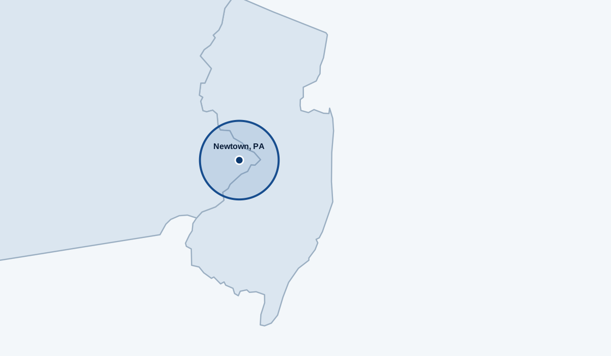
Meet Mike, see the aircraft behind the work, and review the standard service area centered on Newtown, Pennsylvania.
The field kit
A compact aerial setup built around the Skyrover X1, a dedicated controller, and tablet-based planning.
For contractors, the X1 captures sharp 48 MP images that can be enlarged to review visible roof, chimney, and site details without making the initial look another ladder job. Its 360° obstacle sensing adds another layer of awareness when operating around buildings, trees, and other job-site obstacles.
For real estate professionals, smooth 4K/60 HDR video creates polished property reveals, while the compact airframe lets me work efficiently and with less disruption around a home. The result is clear documentation, stronger marketing content, and useful aerial context delivered ready to share.
Plan your aerial shoot ↗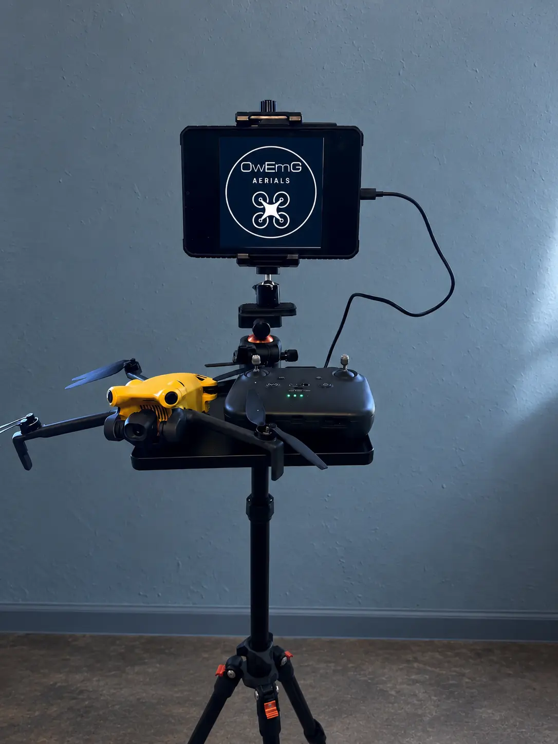
Meet the pilot
I've had a passion for flight from a young age, and it never went away. In 2021, my wife bought me a drone, giving that lifelong passion a new direction.
That gift led to OwEmG Aerials, a local business focused on safe flying, careful composition, and useful aerial coverage for properties and projects.
OwEmG is named for Owen and Emma, two names that mean everything to me and keep a personal connection at the heart of every flight.
FAA Part 107 certified
Part 107 certification required me to demonstrate knowledge of FAA regulations, airspace, weather, aircraft performance, emergency procedures, and safe operating practices. That training informs how I plan every assignment.
I review the location, controlled airspace, temporary flight restrictions, and any FAA authorization required before confirming a flight.
I plan flight paths to avoid flying directly over people unless the operation is specifically allowed by FAA rules and every required condition is met.
The aircraft remains within visual line of sight. Flights generally stay at or below 400 feet above ground, subject to the FAA rules that apply around structures.
Registration, Remote ID requirements, aircraft condition, battery status, and nearby site hazards are checked before takeoff.
Wind, visibility, precipitation, and surrounding activity are reviewed before and during the flight. Crewed aircraft always have the right of way.
FAA-certified remote pilots must complete recurrent training every 24 calendar months. I keep current and review rule changes that may affect an assignment.
If the conditions are not legal or safe, I will adjust the plan, delay the flight, or reschedule it.
Read the FAA Part 107 guidance ↗Local coverage
Standard rates include travel within this service area. Locations outside it may still be available, with any additional travel quoted upfront.